


Dubai has unveiled the first phase of a key tool to improve oversight of civil aviation activities in the Emirate's airspace.
Announced during GITEX Global 2024, the 'Dubai Sky Map' consolidates all Dubai Civil Aviation Authority (DCAA) service maps into one system, enabling real-time tracking of air transport vehicles, cranes, and more.
The interactive platform aims to enhance safety and efficiency in air operations while showcasing the DCAA’s commitment to innovative solutions in airspace management.
In addition to this ambitious initiative, the DCAA will showcase a range of advanced systems and projects at GITEX Global, focusing on improving work quality and raising leadership standards in aviation management.
The Dubai Civil Aviation Authority is launching the first phase of the “Dubai Sky Map” during its participation at GITEX GLOBAL 2024.
— Dubai Civil Aviation Authority (@DcaaDubai) October 14, 2024
This innovative map provides real-time operational data for Dubai's civil aviation sector, using the latest technologies to enhance the safety… pic.twitter.com/jh4XBm2vwt

 UAE, Bahrain coordinate 100‑tonne Gaza aid shipment
 Child’s quad bike ride lands parent in legal trouble
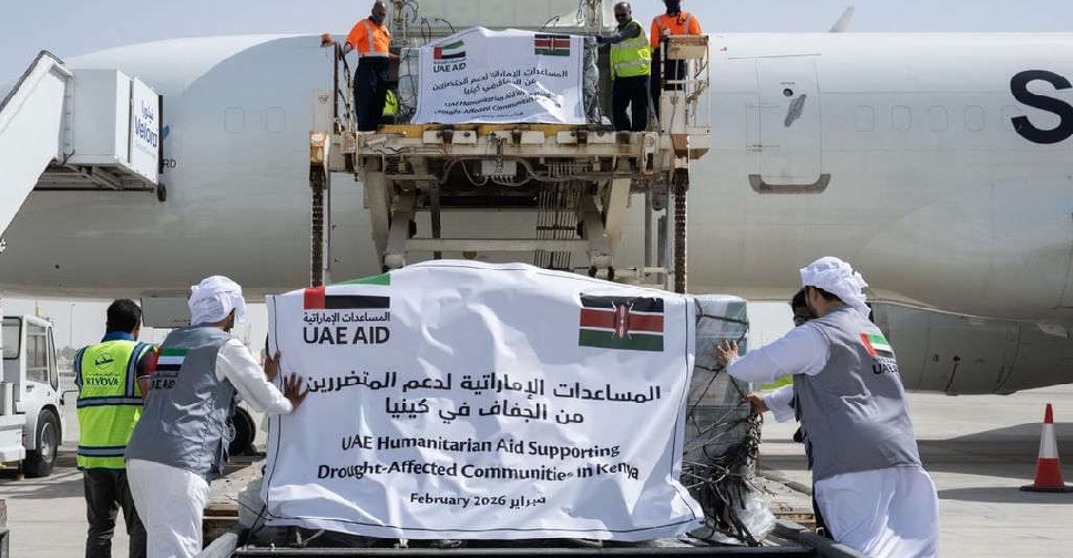 UAE sends 30 tonnes of aid to drought-hit Kenya
 UAE calls for end to crisis in Sudan at Quad meeting in New York