


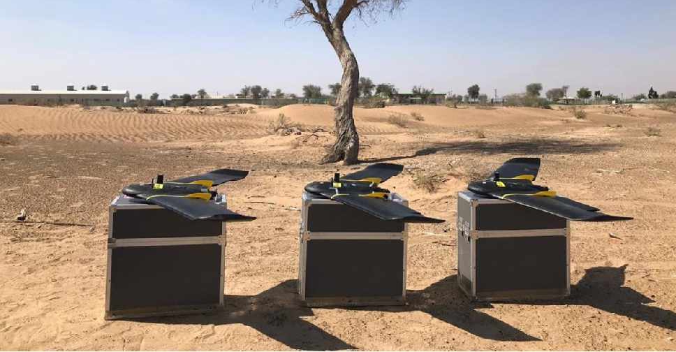
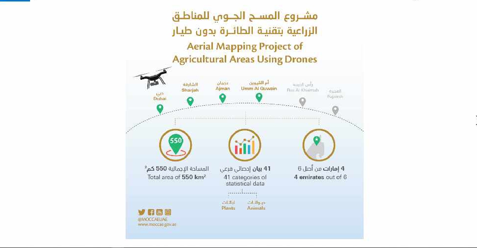
A project to map agricultural areas in the UAE using drones has completed its first phase.
It’s captured around 550 square kilometres of land across Dubai, Sharjah, Ajman, and Umm Al Quwain so far.
The Ministry of Climate Change and Environment will use the data to monitor crops and help farmers with forward planning.
Agricultural areas in Fujairah and Ras Al Khaimah will be mapped in the project's second phase later this year.

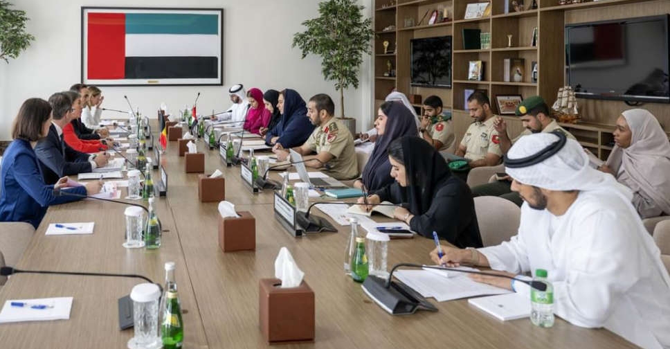 UAE, Belgium hold third round of political consultations in Abu Dhabi
 AED 100 million boost for Mother of Nation Endowment for Orphans
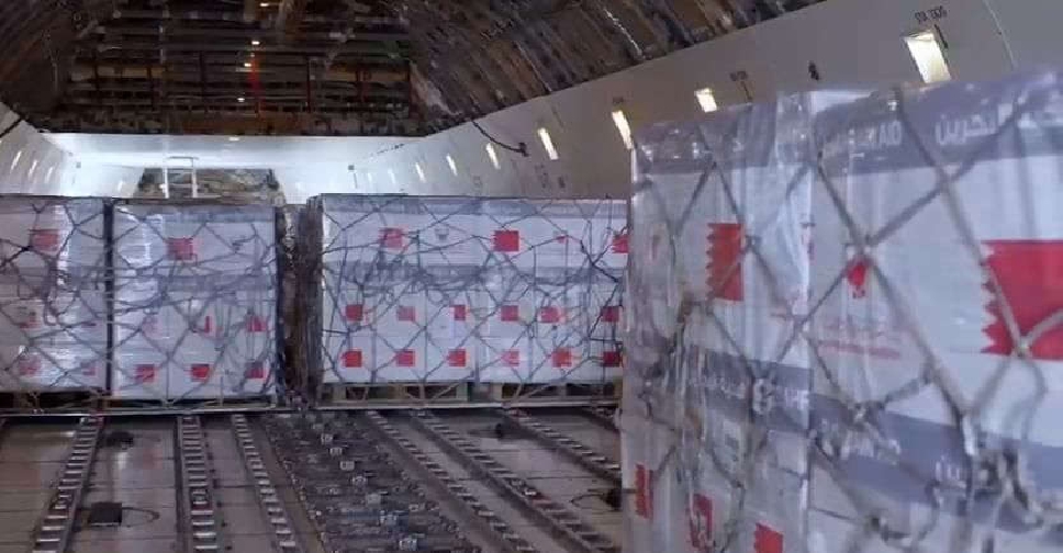 UAE, Bahrain coordinate 100‑tonne Gaza aid shipment
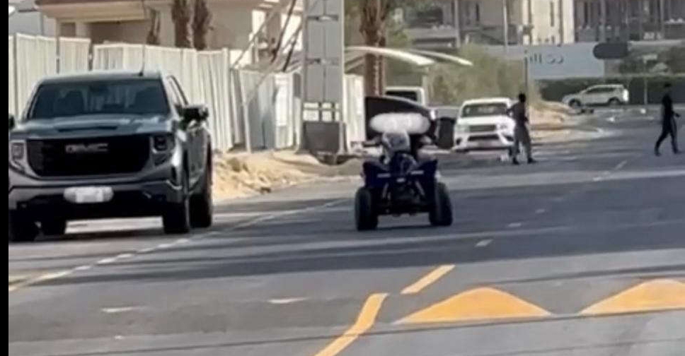 Child’s quad bike ride lands parent in legal trouble


