
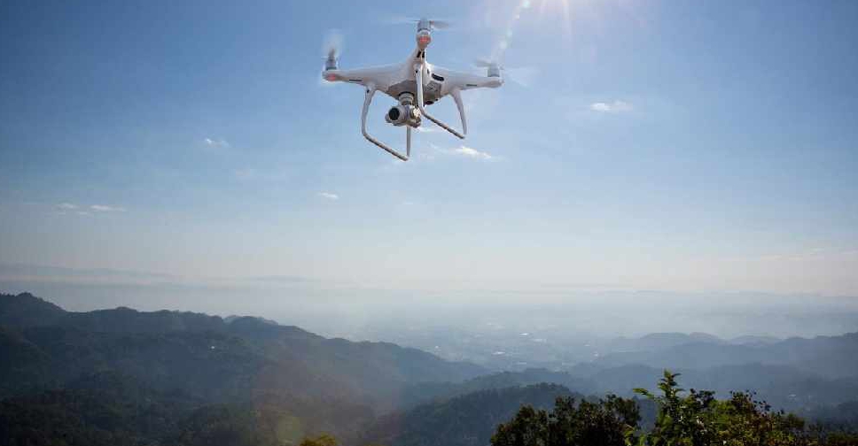
The UAE has completed the trial phase of a project to map agricultural areas using drones.
It's been helping the authorities collect data on farms and greenhouses in the country, as well as livestock population and soil type.
The Ministry of Climate Change and Environment (MOCCAE) is also using the technology to monitor crops and help farmers with forward planning.
The project's pilot phase between August and December in 2018, involved remote sensing and aerial imagery of Wadi Al-aim in Ras Al Khaimah.

 GCAA completes passenger transfers after flydubai Tel Aviv suspension
 Dubai honours outstanding educators with Golden Visas
 UAE-Jordan partnership advances with major railway project
 UAE leaders mark World Teachers' Day with special message for educators