Indonesia's disaster agency is assessing the impact of a strong earthquake that hit off the southern coast of Sumatra island late on Tuesday.
It said that there had been no reports of damage or casualties by near midnight.
The 6.3 magnitude quake struck at 21:31 local time (1431 GMT), the country's meteorology and geophysics agency (BMKG) said, with its epicentre 80 km (50 miles) south of the town of Manna in Bengkulu province, at a depth of 52 km.
Manna is about 600 km (375 miles) northwest of the capital Jakarta.
The tremor was felt for 2 to 6 seconds by residents along the southern coastline of Sumatra, prompting some to run out of their homes, disaster agency BNPB said in a statement.
Indonesia straddles the so-called "Pacific Ring of Fire", a seismically active zone, where different plates on the earth's crust meet and create a large number of earthquakes and volcanoes.
In February, a magnitude 6.1 earthquake killed more than 10 people when it struck inland near the western coast of Sumatra.
Twelve people have been killed and at least 10 injured after a Polish bus overturned at night on a motorway in eastern Hungary, Hungarian Prime Minister Peter Magyar said on Sunday morning in a Facebook post.
Around 5,000 people have been evacuated after a magnitude-7.7 earthquake smashed an area in eastern Indonesia, killing at least 51, blocking roads and causing landslides, authorities said on Sunday.
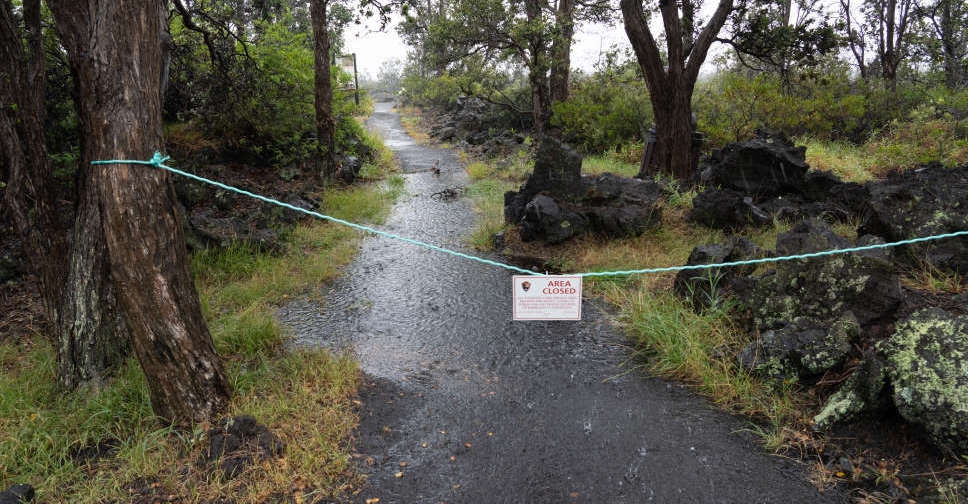
Hurricane Lala has approached Hawaii with strong winds and heavy rain on Saturday, leaving more than 40,000 utility customers without power across the state as the National Hurricane Center warned of "life-threatening" conditions.





 12 killed, 10 injured in Polish bus crash in Hungary
 Thousands evacuate after Indonesia quake kills 51, cuts roads
 Six dead in Indiana after storms and floods, emergency officials say
 Hurricane Lala leaves thousands without power in Hawaii